

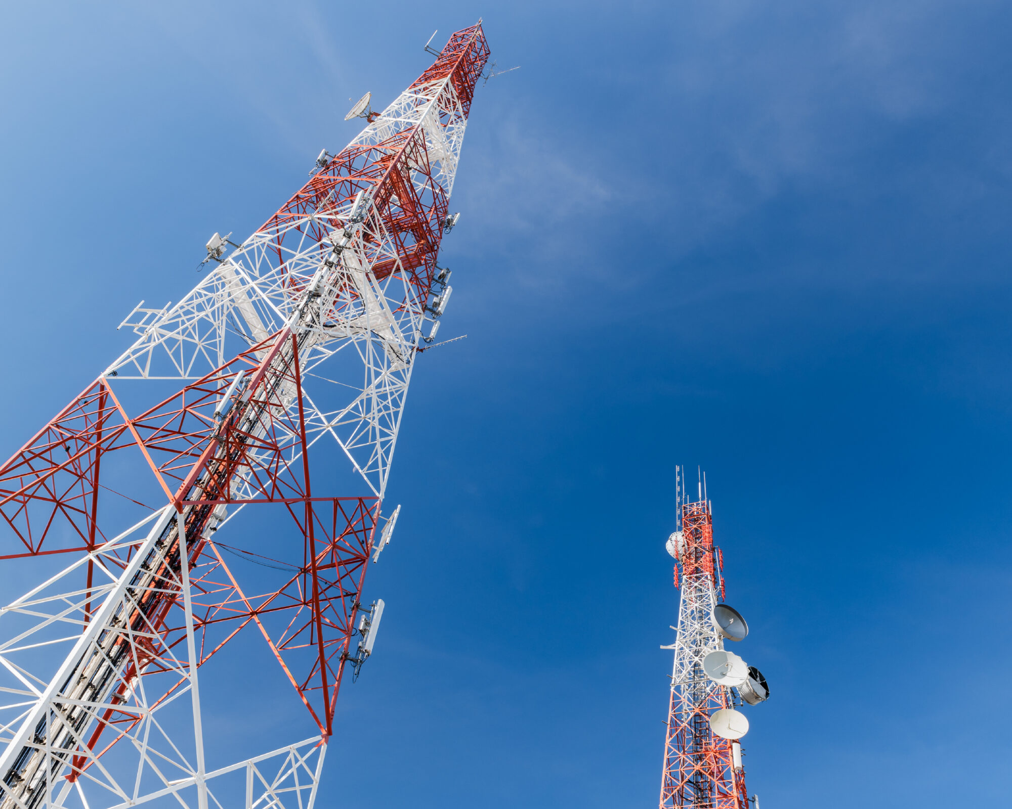
Line of sight sounds binary. Either two sites can see each other, or they can’t. For radio network design, the reality is considerably more nuanced.
Establishing a viable path means understanding not only what sits between two points, but how the radio signal will behave, how conditions around the path may change and whether the proposed design can actually be delivered within the constraints of the sites involved.
That distinction becomes particularly important in critical communications environments, where radio links may need to cross difficult terrain, operate around aviation or other infrastructure, connect remote locations and deliver consistently high levels of availability.
A line of sight study is therefore much more than a visibility check. Done properly, it is an early engineering test of the network design itself, helping to identify potential issues before they lead to costly redesigns, installation delays or compromises in network performance.
The difference between seeing a site and reaching it
Visual line of sight is an important first indicator, but radio signals don’t travel along an infinitely narrow line between two antennas.
Clearance is also required around the direct path. One consideration is the Fresnel zone, the elliptical area surrounding the radio path where obstructions can interfere with propagation even though the receiving site remains visible.
This is why a link that looks perfectly clear to the eye can still be affected by terrain, vegetation, buildings or other structures close to the path.
Distance introduces further considerations. Earth curvature becomes increasingly relevant over longer paths, while atmospheric refraction can alter the effective trajectory of radio signals.
So the useful question isn’t simply “Can we see the other site?” It is “Does this path provide the conditions needed to support the required link?”
That change in question is important because it shifts line of sight from observation to engineering.
The real world changes the path
A path study is inevitably based on information gathered at a particular point in time. The environment the network will operate in is not.
Vegetation grows. New buildings and infrastructure appear. Atmospheric conditions vary. Even seemingly small differences between assumed and actual antenna heights can change the available clearance.
Digital terrain models and mapping tools allow a significant amount of analysis to be completed before engineers reach a site. They can establish path profiles, highlight potential obstructions and identify where clearance may be marginal.
But increasing sophistication in modelling doesn’t remove the need to question the inputs. A terrain model may accurately represent the ground while telling you little about the tree line above it. Site records may no longer reflect the physical installation. A structure may have appeared since the underlying dataset was produced.
The model and the site need to tell the same story. Where they don’t, that discrepancy needs to be understood before the design progresses.
Weather adds another variable. Fog and low cloud can make optical verification difficult or impossible across longer paths, while high winds may prevent safe access to exposed structures. For remote, elevated, coastal and offshore sites, suitable survey windows can also be limited.
There is an important distinction between surveying in the weather and designing for the weather. The first determines whether engineers can gather reliable information. The second considers how the finished network will perform through the conditions it is likely to experience during its operational life. Both matter.
Sometimes the environment changes how you prove the path
One of the less obvious aspects of line of sight engineering is that the operating environment can determine not only whether a path is viable, but how it can be validated.
Aviation provides a good example. Visible lasers can be useful in some surveys for identifying or confirming a distant location. Where the path passes through or close to operational airspace, however, their use may be restricted or inappropriate because of the potential risk to pilots.
The engineering requirement hasn’t changed. Confidence in the path is still needed. What changes is how that confidence is established.
Rather than relying on one method, engineers may need to build the evidence from several sources, combining accurate coordinates and elevations, bearings, terrain data, optical observations, photography, site measurements and path modelling.
This principle extends beyond aviation. Operational railways, offshore installations, utilities, energy infrastructure and other critical environments can all impose restrictions on access, equipment or working methods.
Good engineering doesn’t assume ideal survey conditions. It establishes a methodology that works within the conditions that actually exist.
A line of sight study shouldn’t end with pass or fail
Perhaps the biggest misconception about line of sight studies is that their output is simply a yes or no. In practice, some of the most valuable studies are those that identify why the original proposal isn’t optimal and what needs to change.
A path that appears viable on paper may still present challenges when it comes to delivery. What initially looks like a straightforward adjustment can introduce new technical, operational or commercial considerations that need to be understood before the design progresses.
The technically optimum position also needs to work when the network is built.
- Is the location accessible?
- Can the structure accommodate the equipment?
- Are power and connectivity available?
- Are the cable routes practical?
- Can installation and commissioning be completed within the site’s operational and safety constraints?
One finding can have consequences across the wider design, influencing project costs, delivery timescales and long-term network performance. Identifying these dependencies early allows engineering decisions to be made before they become expensive problems during installation or commissioning.
As Chris Boden, Principal Project Engineer at TXO, explains:
“Line of sight shouldn’t be treated as a standalone pass or fail exercise. The findings can influence antenna height and location, mounting requirements, equipment selection, resilience and the practicalities of installation. The real value of the study is understanding those dependencies early enough to engineer them into the network design.”
That is why the objective shouldn’t be to prove the original design correct. It should be to generate enough evidence to make the design better.
From path validation to network confidence
The real value of a line of sight study isn’t the survey report itself. It is the confidence it creates in everything that follows.
A well-engineered study reduces uncertainty around the proposed path, challenges assumptions before they become embedded in the design and provides evidence for decisions around antenna location, mounting, equipment and deployment. It also creates a clearer connection between what is modelled at a desk and what can actually be delivered on site.
TXO supports radio network projects from initial planning and line of sight studies through detailed design, installation, integration and commissioning. This end-to-end perspective means path validation is considered in the context of the wider network and the practical realities of delivering it.
Ultimately, line of sight isn’t about proving that two locations can see each other. It’s about establishing whether you can engineer a reliable network between them.
You may be interested in:
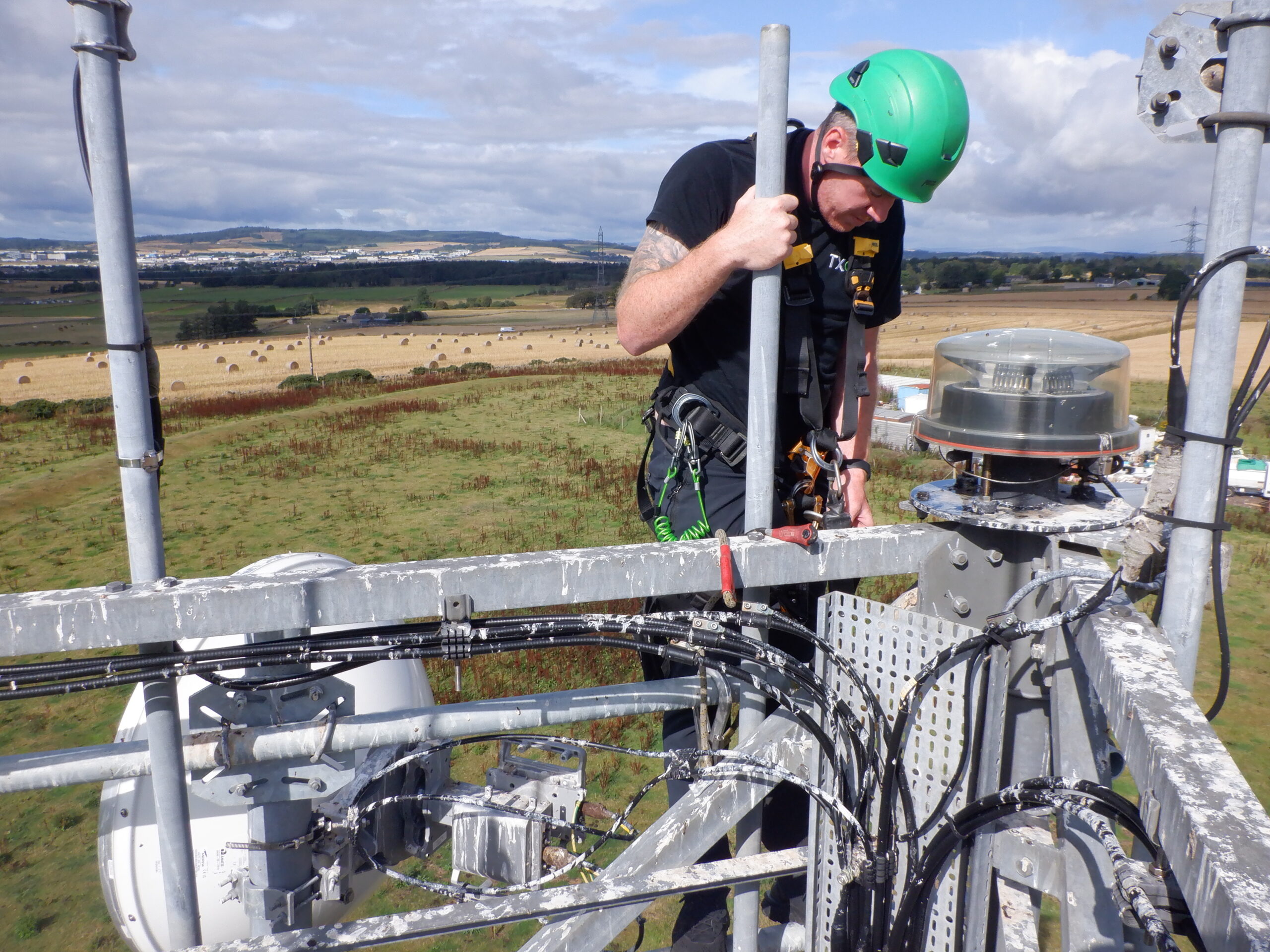
Reliable microwave link delivered between Durris Hill and Aberdeen airport for NATS
NATS required a connectivity solution for its WAM site at Durris Hill. TXO was commissioned to identify and assess potential relay sites capable of providing a
reliable communication link between Durris Hill and the Aberdeen Control Tower. Using tower-mapping software and point-to-point (PtP) desktop surveys, TXO evaluated the feasibility of various options and developed the optimum solution.

Engineering the critical communications behind offshore wind substations
Offshore wind infrastructure demands specialist engineering, rigorous testing and seamless integration. Discover how TXO brought these capabilities together across a complex, multi-year programme spanning three new-build offshore substations, delivering integrated telecoms solutions on time and within budget.

Reliable 21CN connectivity delivered to Sumburgh Airport in the Shetland Islands for NATS
NATS, the UK’s leading provider of air traffic control services, required a new 21CN connection to support operations at Sumburgh Airport. TXO extended NATS’ existing Shetland microwave network with a new point-to-point link, overcoming OFCOM licensing delays and coordination challenges to deliver resilient, high-capacity connectivity in one of the UK’s most remote regions.